

As autumn begins to settle in Canada, residents in Ontario and Quebec may be in for a chilly surprise this weekend. The first snowfall of the season is expected to grace parts of these provinces, offering a taste of winter much earlier than anticipated. With temperatures dipping and precipitation on the horizon, it’s time to unpack those winter coats and prepare for a seasonal shift.
First Snowfall: A Brief Blast of Cold Air
The first full weekend of meteorological fall is set to deliver a significant drop in temperatures across Ontario and Quebec. Cold air, making its way across these regions, will bring temperatures close to freezing during the early morning hours of both Saturday and Sunday. While it’s still early in the season, the conditions are perfect for a brief appearance of snowflakes.
Rain Turning to First Snowfall
The precipitation currently affecting Southern Ontario is expected to continue through the weekend, with the heaviest rain anticipated on Friday night and into early Saturday morning. Eastern Ontario could see localized rainfall amounts ranging from 20 to 40 millimeters. However, the bigger story unfolds as the cold air moves into Western Quebec and Northeastern Ontario. As the temperatures drop to the low single digits and colder air moves aloft, the rain may begin to transition into wet snow in some areas.
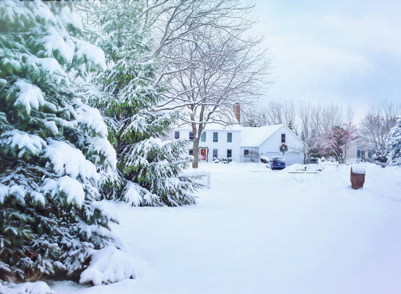
Where First Snowfall is Expected
While snow in early fall is not entirely unusual for Canada, it can be a surprise for those not expecting it this early in the season. Locations in Ontario such as Timmins, Cochrane, Kirkland Lake, Temiskaming Shores, Deep River, and Algonquin Park are among the areas most likely to see their first snowflakes of the season. In Quebec, regions like Ville-Marie, Rouyn-Noranda, Amos, and Val-d’Or may also experience wet snow.
Despite the excitement of seeing snowflakes, accumulation is unlikely in most areas. The wet snow will likely mix with rain, and with ground temperatures still relatively warm, any snow that does accumulate will melt quickly, especially after sunrise on Sunday. However, if temperatures drop lower than expected, a few slushy centimeters of snow could form in some areas.
Frost and Freezing Temperatures After First Snowfall
In addition to the possibility of wet snow, residents in Northeastern Ontario and around Algonquin Park should be prepared for potential frost. Temperatures could fall close to freezing in the early morning hours of Sunday, increasing the risk of frost in these areas. Further south, temperatures in Central Ontario could drop to between 2°C and 5°C, particularly in higher elevations east of Muskoka. Southwestern Ontario, the Golden Horseshoe, and Eastern Ontario will experience milder temperatures, ranging from 5°C to 10°C. Meanwhile, those living near Lake Ontario, Lake Erie, Lake Huron, and Georgian Bay can expect warmer conditions thanks to the residual warmth of the lakes, keeping temperatures above 10°C.
In Quebec, Sunday morning will bring low to mid-single-digit temperatures in the western part of the province near the Ontario border, while areas like Montréal and Québec City will experience slightly warmer conditions, with temperatures ranging from 6°C to 12°C.
Waterspout Risk Over the Great Lakes During First Snowfall
The combination of cold air and warm lake waters creates a prime environment for waterspout formation this weekend. Waterspouts are most likely to occur on Saturday over Southern Lake Huron and Western Lake Erie, with additional risks over Southern Georgian Bay, Western Lake Ontario, and Lake Simcoe. While waterspouts are rare on land, they can pose a hazard for those on the water. These natural phenomena, often slow-moving, can occasionally move ashore, causing minor damage along coastlines.
The risk of waterspouts will continue into Sunday, focusing on Eastern Lake Ontario. Residents and boaters in these areas are encouraged to stay alert and monitor local weather warnings.
During the First Snowfall Warmer Weather Ahead
Though this weekend’s weather may feel like a harsh reminder that winter is approaching, it’s important to note that this cold snap is temporary. By the middle of next week, Ontario and Quebec can expect a return to warmer conditions. Temperatures in Southern Ontario could climb back to nearly 30°C, providing a much-needed break from the cold. This period of warmth may last into the following week, potentially marking one of the longest stretches of warm, dry weather this summer.
What’s Causing the Temperature Shift?
Several factors contribute to the rapid temperature changes experienced in Ontario and Quebec this fall. One of the most significant influences is the remnants of a super typhoon from the Western Pacific, which are helping to drive warmer air back into Canada. As the weather pattern shifts, it will provide a sharp contrast to the current cold spell, reminding residents that summer isn’t quite over yet.
Lake-Effect Rain and Winds
In addition to the potential for snow and frost, the cold northwesterly winds blowing through the region will lead to below-seasonal temperatures across much of Southern Ontario. Lake-effect rain showers are expected along the shores of Lake Huron and Georgian Bay, with gusts of wind ranging from 30 to 50 kilometers per hour. For those with outdoor plans this weekend, it’s best to be prepared for sudden changes in weather, particularly in areas prone to lake-effect rain.
Final Thoughts: Preparing for a Seasonal Shift
This weekend’s weather serves as a reminder that fall in Canada can be unpredictable, with sudden temperature drops and the potential for early snowfall. While snow is unlikely to accumulate, the colder-than-usual conditions may catch some residents off guard. Whether in Northern Ontario, Quebec, or Southern Ontario, it’s a good time to check your winter gear and prepare for the upcoming season’s First Snowfall.
In addition to preparing for snow, those in the Great Lakes region should stay vigilant for waterspout activity, especially if spending time near or on the water. By watching local weather updates, you can ensure that your weekend plans remain safe, even in the face of unpredictable fall weather.
With warmer weather expected to return next week, this brief cold snap will likely be a temporary reminder that winter is just around the corner, but summer isn’t finished with Canada yet. Stay prepared, stay warm, and enjoy the beauty of the changing seasons after the First Snowfall.
Techarp Pretty! This has been a really wonderful post. Many thanks for providing these details.